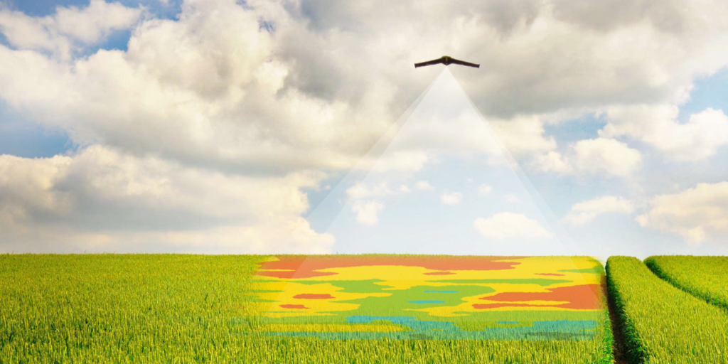
Agriculture is one of the fastest-growing markets in the commercial drone industry. And UAV’s are quickly becoming an indispensable tool to help farmers become more efficient in the field and make more informed crop management decisions. Our solutions allow farmers to accurately assess damage/losses, identify crop health issues in real-time, and even generate variable rate prescriptions – creating efficiencies, controlling/reducing costs, and increasing profit margins!

Precision Ag Services

Emergence & Stand Count

We obtain accurate plant counts, determining the number of plants in a specific area; allowing you to compare with expected results.

Plant Stress Analysis

We obtain general health information by determining the location of problem areas. Plant Stress refers to ANY kind of distress: disease, pest, weed, & water/drought.

Flowering and Yield Estimates

We can assess flowering levels to determine the exact growing stage of your crops; allowing you to optimize chemical usage & choose the perfect harvest date.

Assess Irrigation & Erosion

We provide bare earth mapping to allow you to assess irrigation systems & drainage tiles, allowing you to catch drainage & irrigation issues early, before they become a problem.

Disease Analysis

We obtain & provide actionable information sooner by scanning your field for disease and determining the exact size & location of disease-infested areas.

Pest Analysis

We obtain & provide actionable information sooner by scanning your field to locate and analyze pest-infected areas, allowing you to proactively react to drawbacks.

Weed Analysis

We obtain & provide actionable information sooner by scanning your field to identify the location & size of weed-infested areas, allowing you to optimize pesticide usage.

Eagle-Eye Report

We create a complete overview list of field annotations to highlight specific points on your field, their GPS coordinates, area sizes, & more.